A Brief History of Rathmines
The first known name for the broader region in which Rathmines sits, from pre-invasion times, is Cuala, or Cualu, and the first crossing of the Liffey was a ford on the route known as Slí Chualann, (the Cuala Way), a name now revived as Slí Chualann Nua, as the Wicklow Way is known in Irish. A large forest known as Cullenswood, derived also from Cuala, existed in the northern half of present-day Rathmines until recent centuries, and the name is still seen on street signs in the locality.
The name Rathmines is derived from one William de Meones, of East Meon, Hampshire, who came to Ireland in the entourage of an Anglo-Norman archbishop in 1279-80 and acquired extensive landholdings from his ecclesiastical superior.
From the coming of Christianity in the 4th century, large ecclesiastical settlements had been established in the region, which transferred to Anglo-Normal control from the late 12th century, and most of the land in the area of modern Rathmines was owned by the Archdiocese of Dublin and the Abbey of St. Thomas. Individual Archbishops and Abbots held only life interests in the land, and most were tempted to sell, for steady income, long renewable leases which led to changes in the effective ownership of the area over time.
Thus by the end of the 17th century, the descendants of de Meones had long disappeared and there remained two principal landowner in the area. In the northern half the owner was the Earl of Meath, a descendant of William Brabazon, a protegé of Thomas Cromwell, the famous chief minister of Henry VIII. Brabazon had been sent to supervise the dissolution of the monasteries and he was granted, or granted himself, the lands of the Abbey of St. Thomas upon its dissolution.
The southern half was owned by the Lords Palmerston, descended from one George Radcliffe of Yorkshire, a close associate of the Lord Deputy of the time, who through his stewardship of the then commission for defective titles from 1634, amassed enormous landholdings, including 586 Irish acres in Rathmines – equivalent to almost 1000 statute acres. (Palmerston Park and its environs were developed from the 1840’s onwards by one Henry John Temple, Viscount Palmerston, who later became UK Prime Minister.)
However, it had been observed as late as the middle of the 17th century that the land was not densely inhabited, with the inhabitants being associated mostly with a manor house in each townland together with the employees of their estates.
As times became more settled, after the Jacobite Wars, the number of inhabitants grew, and by the end of the 18th century, Rathmines became known as a healthy retreat where city folk could recover from the miasmas of the city. In fact, in 1822 the village of Rathmines was said to be chiefly inhabited by invalids, for the supposed purity and wholesome quality of the atmosphere.
The village had grown up around a sharp turn in the course of the Swan River, where it veered from its easterly course to flow northwards roughly parallel to present-day Lower Rathmines Road on its western side, veering eastwards once again near Richmond Hill. The old road to Rathmines originally ran atop an embankment along the left bank of the Swan and was replaced by Lower Rathmines Rd which was laid out in 1800. A dissertation on the precise route of the Old Road can be found at the end of this section.
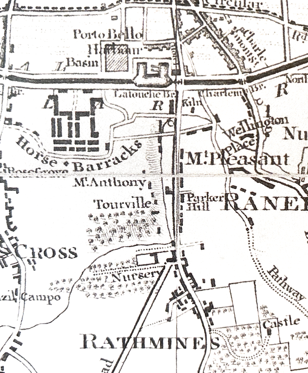
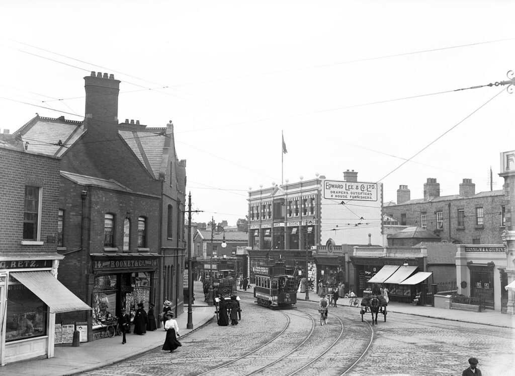
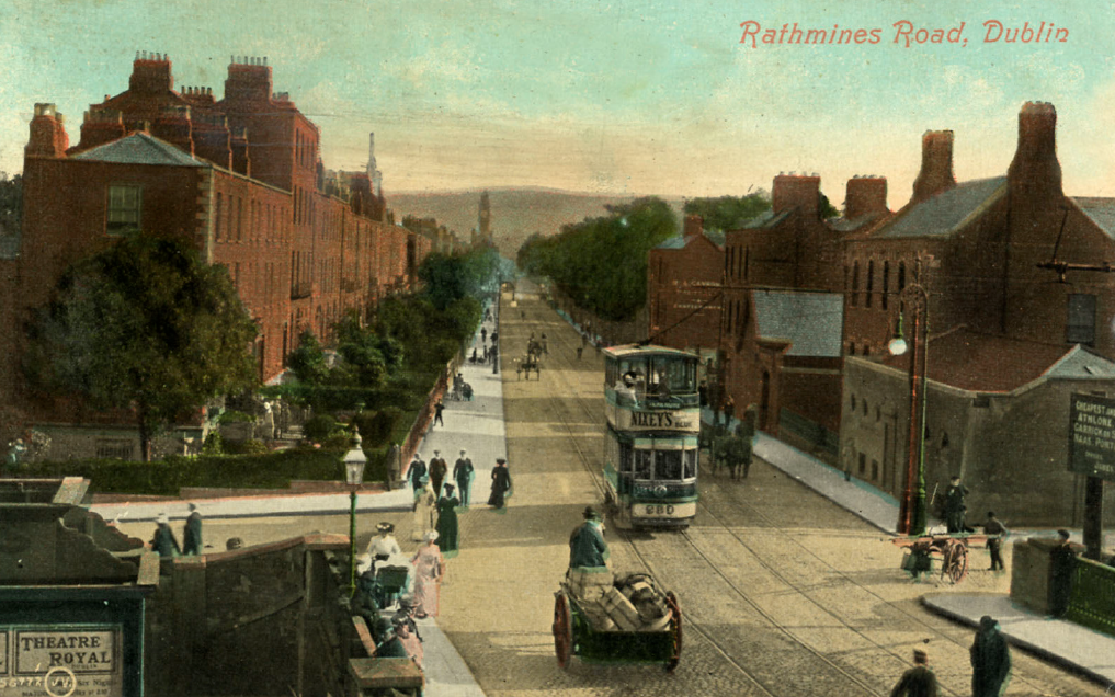
The new road permitted the rapid development of streets of fine houses for those who could afford to escape the less salubrious confines of the city, as well as the large Portobello cavalry barracks, the “Horse Barracks” of Taylor’s 1816 map, built between 1810 and 1815 (now Cathal Brugha Barracks). The pace of development was such that by 1859 it was reported that a “business town” had sprung up at the junction of Rathmines Roads Lower and Upper. Because of the laissez-faire attitude of the authorities, the phenomenon of shops sprouting up in front gardens, a feature distinguishing Rathmines to this day, was allowed to spread unchecked. Interestingly, it did not go unopposed, as in 1867 when one John Butler, who had developed Leinster Square, objected to “the projection of the new building at Duggan Place”, nearby. He was overruled, on the basis that the owner should pave the footpath in front of the new shop.
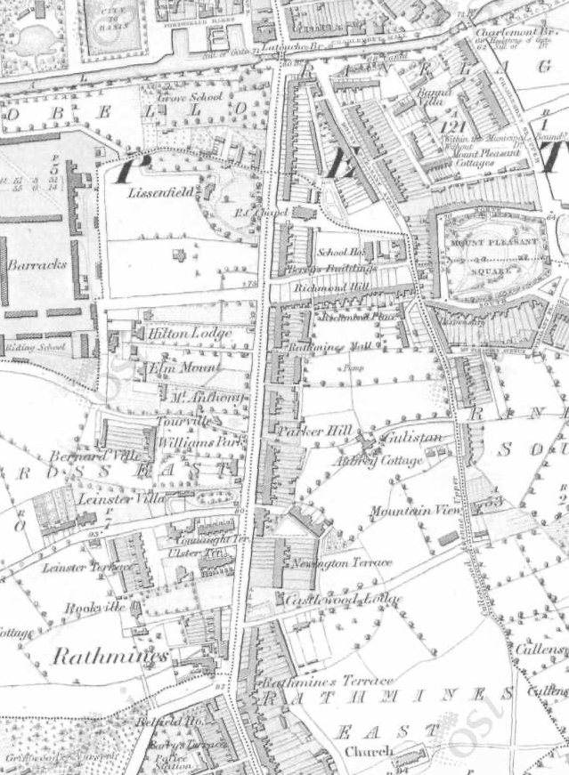
The local authority, Rathmines & Rathgar Urban District Council, originally the Rathmines Township Commissioners, had been set up in 1847, by private Act of Parliament, championed by speculative builders chief among whom was one Frederick Stokes. Between then and 1930, when it was incorporated into Dublin Corporation, it presided over the transformation of the area, with the provision of paving, lighting, water supply, sanitation, electricity generation, public housing and institutional buildings, the most prominent of these being the Town Hall, the Public Library and the Technical Institute. You can see an interesting video by James Barry on the history of the Town Hall by clicking the link below.
More detail on the development of the familiar redbrick streets of Rathmines can be found in the RIA’s Irish Towns Historical Atlas mentioned below, and on the website of the Richview Residents’ Association. (see Resources).
The Rathmines Initiative gratefully acknowledges the use of material from “Rathmines, Irish Towns Historical Atlas”, by Séamus Ó Maitiú, published by the Royal Irish Academy, 2021.
The Old Road to Rathmines
You can read a dissertation on the route of the Old Road to Rathmines here.
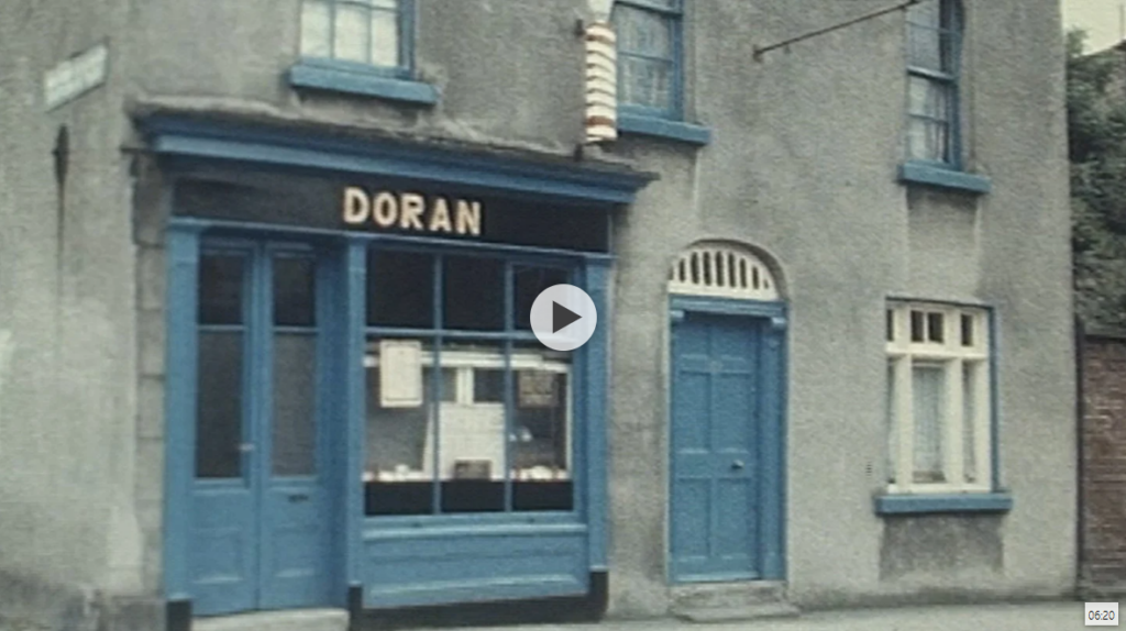
Rathmines in the RTÉ Archives
You can view an RTÉ documentary piece on Rathmines in 1988.